


Hanford Nuclear Reservation, Benton County, Washington
About
Outline

Summary
| Unique Area Identifier | 683428 |
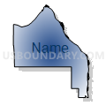
| Name | Hanford Nuclear Reservation |
| County | Benton County |
| State | Washington |
| Area (square miles) | 263.92 |
| Land Area (square miles) | 263.86 |
| Water Area (square miles) | 0.07 |
| % of Land Area | 99.97 |
| % of Water Area | 0.03 |
| Latitude of the Internal Point | 46.55296970 |
| Longtitude of the Internal Point | -119.48416640 |
Maps

Graphs
Select a template below for downloading or customizing gragh for Hanford Nuclear Reservation, Benton County, Washington


Neighbors
Neighoring Voting District (by Name) Neighboring Voting District on the Map
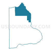
- Columbia Voting District, Benton County, WA
- Federal Voting District, Benton County, WA
- Legion Voting District, Benton County, WA
- Rattlesnake Voting District, Benton County, WA
- Richland 105 Voting District, Benton County, WA
- Richland 110 Voting District, Benton County, WA
- Richland 115 Voting District, Benton County, WA
- Richland 120 Voting District, Benton County, WA
- Richland 150 Voting District, Benton County, WA
- Water: Columbia River - Hanford Reservation, Benton County, WA
- Water: Columbia River - Richland, Benton County, WA
Top 10 Neighboring County Subdivision (by Population) Neighboring County Subdivision on the Map
Top 10 Neighboring Place (by Population) Neighboring Place on the Map
Top 10 Neighboring Unified School District (by Population) Neighboring Unified School District on the Map
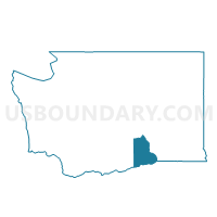
- Richland School District, WA (62,323)
- Prosser School District, WA (12,996)
- Kiona-Benton School District, WA (8,408)
Top 10 Neighboring State Legislative District Lower Chamber (by Population) Neighboring State Legislative District Lower Chamber on the Map
Top 10 Neighboring State Legislative District Upper Chamber (by Population) Neighboring State Legislative District Upper Chamber on the Map
Top 10 Neighboring 111th Congressional District (by Population) Neighboring 111th Congressional District on the Map
Top 10 Neighboring Census Tract (by Population) Neighboring Census Tract on the Map
- Census Tract 102.02, Benton County, WA (6,060)
- Census Tract 101, Benton County, WA (4,448)
- Census Tract 102.01, Benton County, WA (4,295)
- Census Tract 120, Benton County, WA (5)